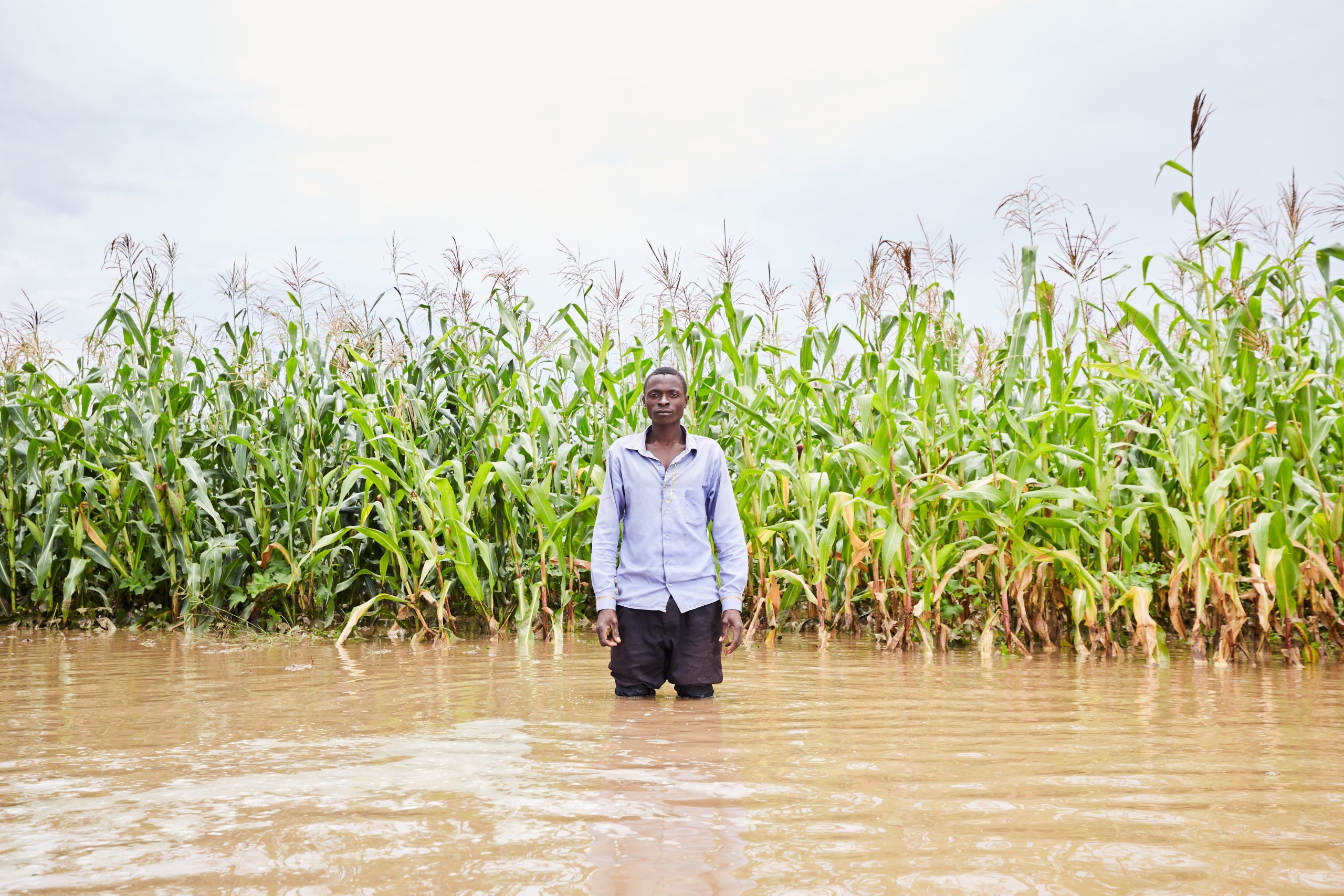
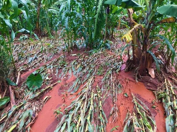
The International Water Management Institute (IWMI) is working with the Zambian government for improved knowledge generation and effective advisory services following the floods that affected more than 20,000 people in Zambia in 2023.
Zambia’s Disaster Management and Mitigation Unit (DMMU) has reportedly described the ongoing floods in the Southern and Central Provinces of the country as “catastrophic”. A rising number of communities are at risk of contaminated flood waters, submerged sanitation, collapsed infrastructure, damaged homes, and imminent waterborne diseases that stem from such extreme flooding.
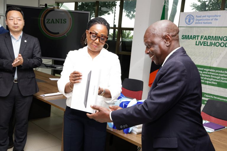
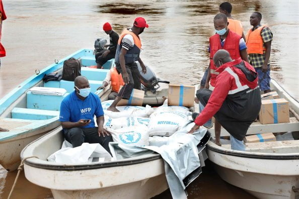
Earlier this year, Zambia’s Water Resources Management Authority (WARMA) coordinated development agencies for disaster response in the severely impacted districts of Luapula, Kapompo, Lukulu, Senange, Kitwe, Mambwe, and Solwezi. In this context, IWMI has come forward with the offer of support for post flood recovery strategy development, as well as the strengthening of digital climate agro-advisory services.
“The importance of getting an in-depth understanding of the current situation, as well as formulating a well-drafted, inclusive post-flood recovery strategy is fundamental to helping the country with a multi sectorial response to ensure recovery, rehabilitation and restoration. To this end, IWMI will further support its government partners in Zambia with flood damage assessment and aiding recovery efforts, following the extreme flooding events across the country particularly in Southern, Central, Eastern and Lusaka provinces. We also have the experience of other flood events in Pakistan, India and Sri Lanka, where we
have developed effective early warning systems, to help guide the government in putting
together an evidence-based framework to support the recovery and relief efforts,” says Dr Inga Jacobs-Mata, Regional Representative, IWMI – Southern Africa.
According to Dr Jacobs-Mata, better collaboration between IWMI, its stakeholders, and the Zambian government, can lead to improved forecasting of climate change impacts and variability on agriculture, and the availability of locally adapted climate-informed agriadvisories. The importance of getting an in-depth understanding of the current situation, as well as formulating a well-drafted, inclusive post-flood recovery strategy is fundamental to helping the country with a multi-sectorial response to ensure recovery, rehabilitation and restoration.
“The need for a disaster management crisis plan is key at such a time, particularly considering how rapid response maps could assist agencies for early detection. In such a crisis, researchers at IWMI offer critical aid in the form of rapid-response maps generated from elaborate, high resolution satellite images, which can help local disaster management teams on the ground to make informed decisions regarding crop damage, identifying vulnerable populations, and aiding in early indications of emerging issues,” said Dr Giriraj Amarnath, Research Group Leader: Water Risks to Development and Resilience at IWMI and CGIAR Initiative on Climate Resilience, Country Lead, Zambia.
The satellite images are sent in response to requests for support from partners for the monitoring and assessment of floods, as currently experienced in Zambia. “Investments to enhance emergency preparedness and response capacities are critical to mitigate the impact of climate shocks. The CGIAR initiative on Climate Resilience proposed to implement an innovative anticipatory disaster mitigation response using the AWARE platform (early warning, early action and early finance). AWARE strengthens rapid response mechanisms to provide water-related hazard triggers. These triggers help to better coordinate among institutions for timely assistance to severely affected people through relief funds, with a special focus on the most vulnerable groups,” Dr Amarnath added.


