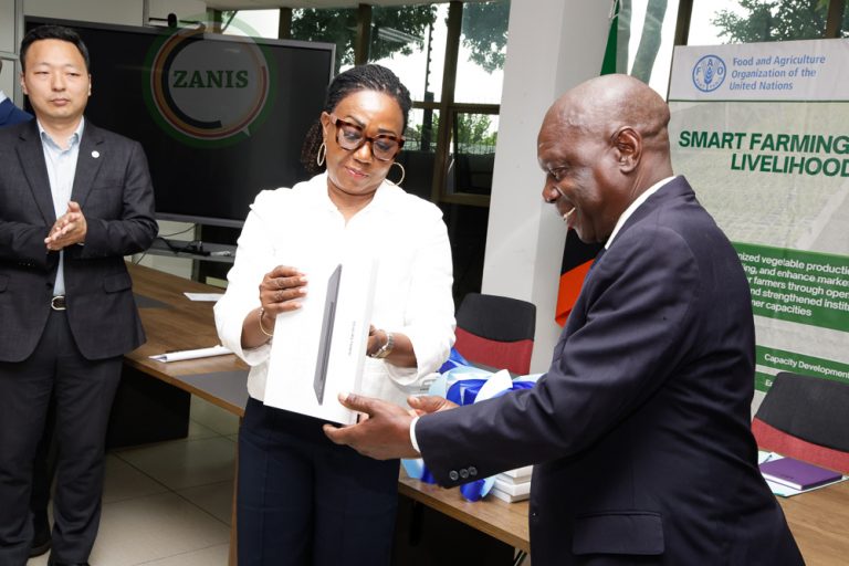
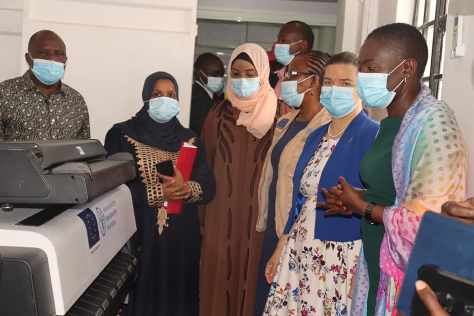
The Food and Agriculture Organization of the United Nations (FAO) and the European Union (EU) handed over the first fully equipped land registry in Tana River County to the Ministry of Lands and Physical Planning (MoLPP).
Speaking during the handover, the Ministry of Lands and Physical Planning Cabinet Secretary said, “with a fully equipped land registry, Tana River will be one of the first 20 counties where digitalization of records will take place by end of 2021, making it easy to transact and do business.”
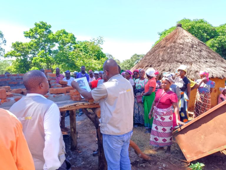
With a geographical area of 285, 085ha, Tana River County was separated from Lamu, Kilifi and Mombasa Counties leaving a gap in land administration and management. The established land registry brings these services closer to the people.

“Thank you Madam CS for your support. We have received 3000 title deeds that were gathering dust in Mombasa and Lamu County, as well as at the Ministry of Lands and Physical Planning. In addition to a fully-equipped GIS Laboratory, we now have five physical planners, four surveyors, two assistant planners and two GIS technicians,” said the Tana River County Governor H.E Dr. Dhadho Godhana.
“To ensure food and nutrition security for better livelihoods and socio-economic development, access to land that is secure and equitable is a key resource as stipulated in Vision 2030,” said Carla Mucavi, the FAO Representative to Kenya.
The joint European Union and FAO funded programme, dubbed: “Support to the attainment of Vision 2030 through Devolved Land Reforms in Community Lands of Kenya”, is being implemented in collaboration with Ministry of Lands and Physical Planning, the National Land Commission, Council of Governors, and nine county governments namely: Baringo, Laikipia, Marsabit, Nandi, Samburu, Tana River, Turkana, West Pokot and Vihiga counties.
“Improved land governance contributes significantly to some of the Kenya’s Big 4 Agenda: Employment and Job Creation, Food and Nutrition security, Investment Opportunities as well as Management of community conflicts. Under the 10.4 million Euro Land Governance Programme, the EU, FAO together with the Ministry of Lands and Physical Planning, the National Land Commission and the County Governments, is contributing to these important and transformational objectives,” said Katrin Hagemann, the EU Ambassador to Kenya.

Land administration and management were some of the key areas of focus. Land registry equipment was procured, existing ones were refurbished while new land registries were installed using state of the art digital equipment to integrate the just launched National Land Information Systems (NLIMS).
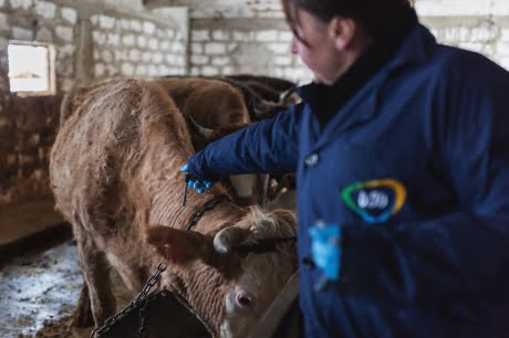
In 2019, FAO equipped all the nine counties with Geospatial Information System (GIS) Laboratories for management of land and natural resources to enhance food and nutrition security. Applied GIS in land analysis reduces land conflicts, improve access, improve land use planning, and identify natural resources like water, fisheries and forests.