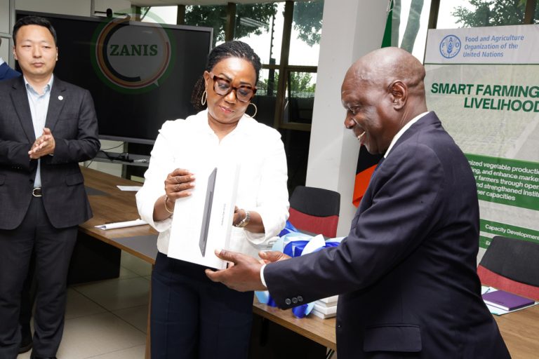
A data collection and analysis initiative led by the Food and Agriculture Organization of the United Nations (FAO) and the African Union Commission (AUC) has revealed 7 billion trees outside forests for the first time, among other findings. The survey is the first consistent land use representation of the continent and discloses more forests and more arable lands than were previously detected.
FAO and the AUC presented the findings of the Africa Open DEAL (Data for Environment, Agriculture and Land) initiative which has made Africa the first continent to complete the collection of accurate, comprehensive and harmonized digital land use and land-use change data. It provides a detailed snapshot of the continent, captured through more than 300 000 sampling points between 2018 and 2020.
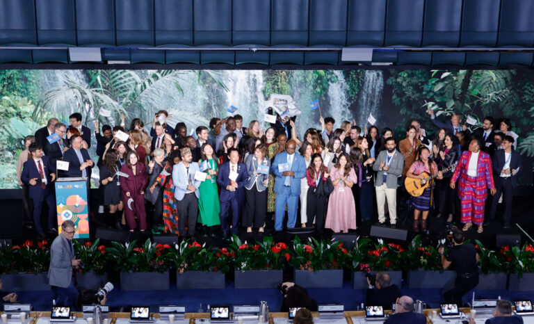
“The Africa DEAL shows that science and innovation can provide real solutions and that collaboration and pooling experience leads to the best results. It supports the transformation to more efficient, inclusive, resilient and sustainable agri-food systems for better production, better nutrition, a better environment and better lives for all,” said QU Dongyu, FAO Director-General, speaking by video at the online event.
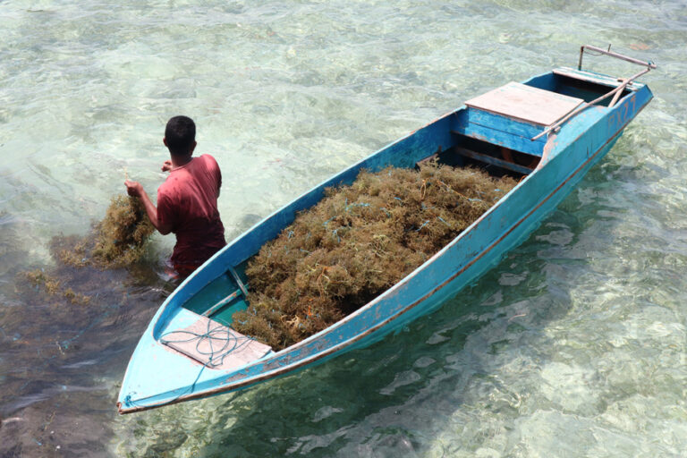
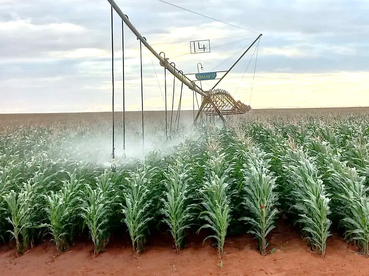
Other findings announced are that the area of the continental Great Green Wall initiative has 393 million hectares of land with restoration potential and opportunities and that 350 million hectares of cropland are cultivated in Africa, more than double that of the European Union.
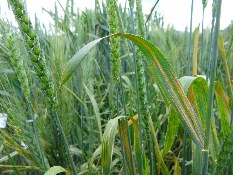
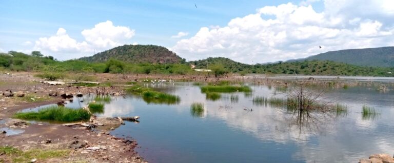
The findings reveal huge opportunities for managing the environment, agriculture and land use in Africa, and increasing countries’ ability to track changes and conduct analyses for informed sustainable production, restoration interventions, and climate action. Attendees at the event also heard how countries can detect where deforestation is happening, where settlement land is encroaching on cropland or grassland and where the wetland is being lost.
“This collaboration has…provided an assurance that we can still turn the tide, that we can still restore degraded land for agricultural use, through models such as agroforestry, that we can still halt desertification, that we can still fight climate change, and above all that we can still restore hope for humanity despite the odds,” said Josefa Sacko, the African Union Commissioner for Agriculture, Rural Development, Blue Economy and Sustainable Environment.
Pan-African environmental data collection brings exciting knowledge
FAO and the AUC, with the support of the Panafrican Agency for the Great Green Wall, the Southern Africa Development Community (SADC) and 30 African countries, coordinated the data collection operation on a scale unseen before in agriculture, environment and land use.
Analysts were trained to use Collect Earth, an open-source tool developed by FAO with the support of Google. Over 100 parameters were collected on each sampling point of about 0.5 hectares, including tree counts, farmlands, wildfires, and existing infrastructure. Data were analysed to highlight land-use change over the past 20 years and the potential for restoration at the national level for every country. The very high-resolution imagery allowed analysts to assess places with difficult field accessibility, leading them to discover the 7 billion previously unrecorded trees.
“The Africa Open DEAL tells us there are 350 million hectares of cropland cultivated in Africa, double the amount of the European Union. So why should we still be talking about continued hunger in Africa? We now have new, accurate information to use in our fight against hunger on the continent,” said Abebe Haile-Gabriel, FAO Assistant Director-General and Regional Representative for Africa.