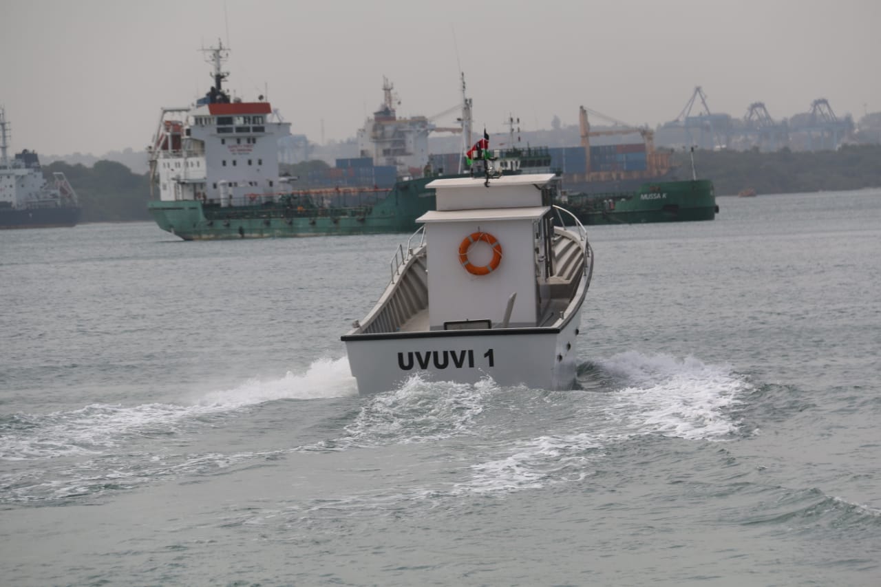
Kenya is developing an ambitious National Marine Spatial Plan (MSP) to guide the sustainable use of its ocean resources and harness the vast potential of the country’s largely untapped Blue Economy.
The MSP, a 20-year strategic framework approved by the Cabinet, aims to ensure balanced, sustainable, and integrated use of Kenya’s 250,000-square-kilometre ocean space, promoting economic growth while safeguarding environmental conservation and social equity.
Although still in draft form, the final plan is expected to be completed by June 2026 before being submitted to the Cabinet for approval. The initiative is being implemented by the Government of Kenya with support from the World Bank through the Kenya Marine Fisheries and Socio-Economic Development (KEMFSED) Project.
The plan covers Kenya’s coastline from Vanga in Kwale County to Kiunga in Lamu County, a stretch increasingly under pressure from overexploitation and competing interests. Experts say Kenya must align environmental management with economic, fiscal, and social priorities to ensure sustainable marine development.
Marine Spatial Planning is gaining traction globally as a practical framework for coordinated management and decision-making in marine areas. Kenya’s plan will encompass inshore waters in Kwale, Mombasa, Kilifi, Lamu, and Tana River counties, as well as the country’s territorial seas and Exclusive Economic Zone (EEZ).
The Ministry of Mining, Blue Economy and Maritime Affairs, through the State Department for the Blue Economy and Fisheries, has concluded a series of community engagement sessions across coastal counties. The participatory forums were held to raise awareness, build capacity for effective participation, and gather local perspectives on resource use, conservation, and development priorities.
Participants included representatives from national and county governments, non-governmental and community-based organisations, community groups, minority communities, beach management units, the hospitality and tourism sectors, and private sector networks.
Deputy Director of Physical Planning at the State Department for Lands and Physical Planning, John Tabu, said public participation is central to the MSP process as it ensures the voices of communities directly affected by marine activities are heard.
Kenya’s Vision 2030 identifies the MSP as a key driver in expanding the food economy, while the Fourth Medium Term Plan (MTP IV) recognises the Blue Economy as a major engine for national growth.
“The MTP IV provides that the preparation of the MSP is the framework to unlock the resources that are in the Blue Economy,” said Tabu.
He added that the plan will designate marine zones for fishing grounds, tourism, energy, shipping lanes, conservation, water sports, and mining.
“We are doing this so Kenya can advance to the next stage of development. As the President said, we aim to become a first-world country within 30 years, and that starts with developing and properly managing what we have,” Tabu emphasised.
Halima Mweru, Secretary of the Mombasa Beach Management Unit (BMU) Network, said the MSP would help minimise conflicts among ocean users. She noted that activities such as port dredging often disrupt fishing grounds, lowering catches and fuelling tensions between port operators and fisherfolk.
“If we follow the plan, it will end or reduce such conflicts,” she said.
Patrick Waweru, National Land Commission (NLC) Mombasa County Coordinator, said the Commission is working to ensure the MSP process aligns with constitutional, legal, and international standards.
“NLC is in the MSP process to ensure that stakeholders in the marine space are involved. They participate in identifying the issues, challenges and potential and also coming up with proposals to advance the national development goals and at the same time conserve marine biodiversity,” Waweru explained.
Coach Twalib Yusuf, Secretary of Aquatic Sports, urged the establishment of community rescue centres and deployment of lifeguards along beaches to enhance safety for ocean users.


